About the Preserve
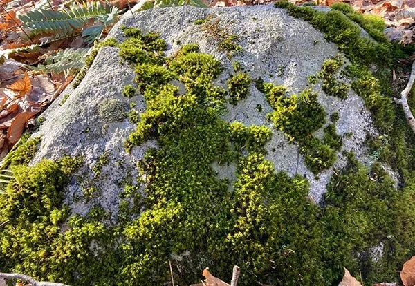
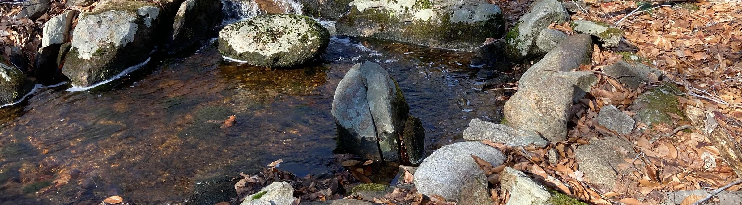
Chittenden Hill Preserve has a small parking area where the loop trail begins and ends. The initial topography of the trail is wetland soils with marshy areas in early spring. A plank-walk traverses much of this area, until upland topography is reached at about 1400 feet from the trailhead. From this point the trail loops up to the north, crosses over an intermittent stream twice on wooden bridges while traversing through oak, birch, and maple forest. Elevation gain is about 400 feet, and is gradual to slightly moderate. Total trail length out and back is about 1.5 miles.
The main trail at one point has a connector to State-owned Cockaponset land, indicated by a small sign to the north. Once in Cockaponset, the trail is unmarked, but easily followed. Best to know where you are going from there, and have the state Cockaponset maps available. Horses frequent this trail and trails in the state owned woodlands to the north.
This property experiences very infrequent use, and is quiet and enjoyable to walk.